2022
SO6606 : Modern Boundary Stone, Viney Hill
taken 2 years ago, near to Oldcroft, Gloucestershire, England
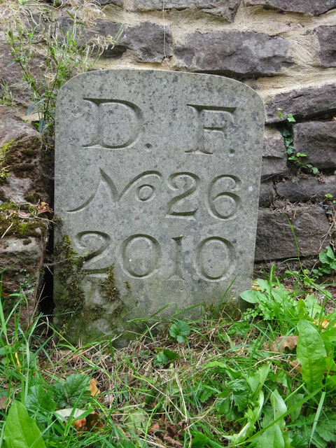
Modern Boundary Stone, Viney Hill
Actually on the parish border of Awre and West Dean. On the corner of the entrance to houses and Main Road.
Inscription: D. F. / Nᴼ. 26 / 2010
Milestone Society National ID: GL_DFWDAW26em
Inscription: D. F. / Nᴼ. 26 / 2010
Milestone Society National ID: GL_DFWDAW26em
National Survey of Wayside Features by The Milestone Society
These images are from Link
Forest of Dean Boundary Stones
a list of 100 (so far, of 200) FoD BS on Geograph see Link . An interactive map of them is Link

Some are Gale (mining rights) Stones see Facebook Link
 Map © Crown Copyright")
TIP: Click the map for more Large scale mapping
- Grid Square
- SO6606, 85 images (more nearby 🔍)
- Photographer
- Mr Red (more nearby)
- Date Taken
- Tuesday, 4 October, 2022 (more nearby)
- Submitted
- Thursday, 6 October, 2022
- Subject Location
-
OSGB36:
 SO 66115 06298 [1m precision]
WGS84: 51:45.2604N 2:29.5376W - Camera Location
-
OSGB36: SO 66115 06298
- View Direction
- West-southwest (about 247 degrees)