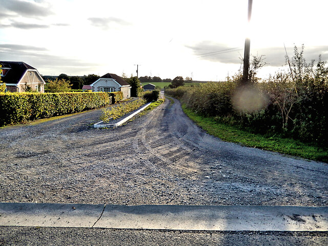
S2571 : Rural Lane
taken 2 years ago, 3 km from Crosspatrick, Co Kilkenny, Ireland
![Creative Commons Licence [Some Rights Reserved]](https://s1.geograph.org.uk/img/somerights20.gif)
|
· Find out How to reuse this image ·
Share:
|
|||||
| Start a discussion on S2571 | Suggest an update to this image | Contact the contributor | |||
Loading map... (JavaScript required)
- Grid Square
- S2571 (more nearby
 )
)
- Photographer
- kevin higgins (find more nearby)
- Date Taken
- Saturday, 8 October, 2022 (more nearby)
- Submitted
- Sunday, 9 October, 2022
- Geographical Context
- Subject Location
-
Irish:
 S 2572 7176 [10m precision]
WGS84: 52:47.7954N 7:37.1663W - Camera Location
-
Irish: S 2582 7183
- View Direction
- West-southwest (about 247 degrees)
This page has been viewed about 22 times.
View this location:
KML (Google Earth) ·
Google Maps ·
Bing Maps ·
Geograph Coverage Map ·
More Links for this image
·
Bing Maps ·
Geograph Coverage Map ·
More Links for this image