2021
TQ5838 : Tunbridge Wells Common
taken 2 years ago, near to Royal Tunbridge Wells, Kent, England
This is 1 of 11 images, with title Tunbridge Wells Common in this square
Tunbridge Wells Common
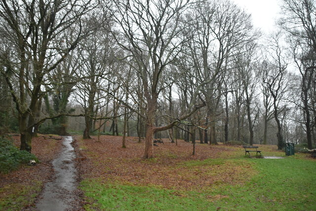
Tunbridge Wells Common is a 104 hectare open space close to the centre of town. Comprising mixed oak woodland and open areas. Originally a common where animals grazed, but trees have grown as grazing declined. Underlain by Tunbridge Wells Sandstone (Lower Cretaceous), which outcrops in several places across the common. Owned by the Borough Council but looked after by the Tunbridge Wells Common Conservators Link .
.
See other images of Tunbridge Wells Common
See other images of Tunbridge Wells Common
 Map © Crown Copyright")
TIP: Click the map for more Large scale mapping
- Grid Square
- TQ5838, 2001 images (more nearby 🔍)
- Photographer
- N Chadwick (more nearby)
- Date Taken
- Thursday, 30 December, 2021 (more nearby)
- Submitted
- Friday, 28 October, 2022
- Subject Location
-
OSGB36:
 TQ 5815 3888 [10m precision]
WGS84: 51:7.6423N 0:15.5218E - Camera Location
-
OSGB36: TQ 5816 3885
- View Direction
- North-northwest (about 337 degrees)