2022
SU7723 : River Rother east of Penns Place
taken 2 years ago, near to Sheet, Hampshire, England
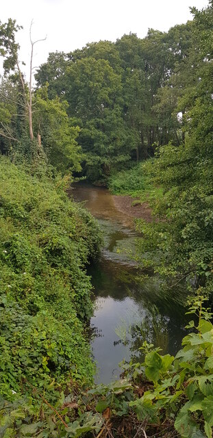
River Rother east of Penns Place
A footpath links Durford Road and the former Durford Abbey. Here it crosses the River Rother on a footbridge.
 Map © Crown Copyright")
TIP: Click the map for more Large scale mapping
- Grid Square
- SU7723, 21 images (more nearby 🔍)
- Photographer
- Paul Collins (more nearby)
- Date Taken
- Saturday, 3 September, 2022 (more nearby)
- Submitted
- Monday, 7 November, 2022
- Subject Location
-
OSGB36:
 SU 7701 2314 [10m precision]
WGS84: 51:0.1503N 0:54.2310W - Camera Location
-
OSGB36: SU 7695 2318
- View Direction
- East-southeast (about 112 degrees)