2022
ND3650 : Ordnance Survey Flush Bracket G1934
taken 2 years ago, near to Wick, Highland, Scotland
This is 1 of 2 images, with title starting with Ordnance Survey Flush Bracket in this square
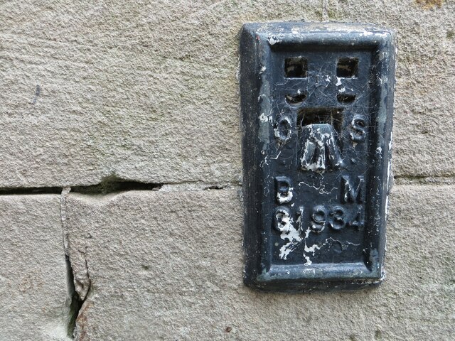
Ordnance Survey Flush Bracket G1934
This bracket can be found on the roadside wall of Wetherspoons - formerly a Post Office.
The recorded details give a height of 7.7927 metres above sea level.
For more detail see : Link
The recorded details give a height of 7.7927 metres above sea level.
For more detail see : Link
 Map © Crown Copyright")
TIP: Click the map for more Large scale mapping
- Grid Square
- ND3650, 227 images (more nearby 🔍)
- Photographer
- Peter Wood (more nearby)
- Date Taken
- Friday, 24 June, 2022 (more nearby)
- Submitted
- Monday, 14 November, 2022
- Subject Location
-
OSGB36:
 ND 36430 50960 [1m precision]
WGS84: 58:26.5376N 3:5.4377W