2021
SN6389 : Ploughed field
taken 3 years ago, near to Dôl-y-Bont, Ceredigion/Sir Ceredigion, Wales
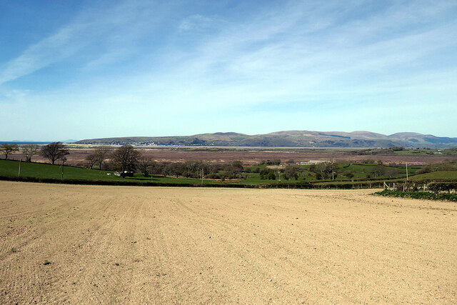
Ploughed field
A navigation error led me off from the Borth to Devil's Bridge Trail! Should have been in the next field to the right. My apologies to the landowner!! The Dyfi estuary crosses the centre of the view.
 Map © Crown Copyright")
TIP: Click the map for more Large scale mapping
- Grid Square
- SN6389, 14 images (more nearby 🔍)
- Photographer
- John Lucas (more nearby)
- Date Taken
- Friday, 23 April, 2021 (more nearby)
- Submitted
- Monday, 14 November, 2022
- Subject Location
-
OSGB36:
 SN 6332 8932 [10m precision]
WGS84: 52:29.0778N 4:0.8542W - Camera Location
-
OSGB36: SN 63324 89303
- View Direction
- NORTH (about 0 degrees)