2022
SP1395 : North end of Walmley Road, Sutton Coldfield
taken 1 year ago, near to Royal Sutton Coldfield, Birmingham, England
This is 1 of 2 images, with title North end of Walmley Road, Sutton Coldfield in this square
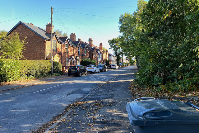
North end of Walmley Road, Sutton Coldfield
Walmley Road runs south for over three kilometres towards Pype Hayes.
 Map © Crown Copyright")
TIP: Click the map for more Large scale mapping
- Grid Square
- SP1395, 41 images (more nearby 🔍)
- Photographer
- Robin Stott (more nearby)
- Date Taken
- Tuesday, 18 October, 2022 (more nearby)
- Submitted
- Monday, 21 November, 2022
- Subject Location
-
OSGB36:
 SP 1341 9578 [10m precision]
WGS84: 52:33.5816N 1:48.2174W - Camera Location
-
OSGB36: SP 13384 95793
- View Direction
- East-southeast (about 112 degrees)