2008
NU2211 : Carved out by flooded River Aln
taken 16 years ago, near to Hawkhill, Northumberland, England
This is 1 of 3 images, with title Carved out by flooded River Aln in this square
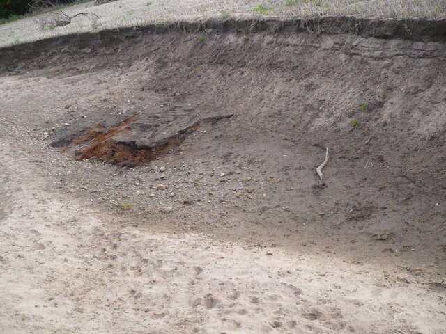
Carved out by flooded River Aln
The heavy rains of September 2008 caused extensive flooding in Northumberland. The River Aln overflowed its banks here and scoured out this depression. See
NU2211 : Carved out by flooded River Aln
NU2211 : Carved out by flooded River Aln
 Map © Crown Copyright")
TIP: Click the map for more Large scale mapping
- Grid Square
- NU2211, 42 images (more nearby 🔍)
- Photographer
- Leanmeanmo (more nearby)
- Date Taken
- Monday, 13 October, 2008 (more nearby)
- Submitted
- Thursday, 24 November, 2022
- Subject Location
-
OSGB36:
 NU 2244 1194 [10m precision]
WGS84: 55:24.0536N 1:38.8333W - Camera Location
-
OSGB36: NU 2244 1196
- View Direction
- SOUTH (about 180 degrees)