2022
TL4860 : Fen Ditton Information Board
taken 2 years ago, near to Fen Ditton, Cambridgeshire, England
This is 1 of 2 images, with title Fen Ditton Information Board in this square
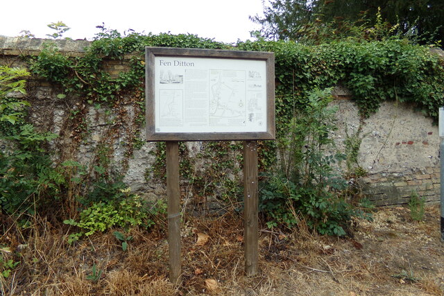
Fen Ditton Information Board
On High Street at the junction with Church Street near St Mary the Virgin Church
 Map © Crown Copyright")
TIP: Click the map for more Large scale mapping
- Grid Square
- TL4860, 491 images (more nearby 🔍)
- Photographer
- Geographer (more nearby)
- Date Taken
- Thursday, 25 August, 2022 (more nearby)
- Submitted
- Saturday, 26 November, 2022
- Subject Location
-
OSGB36:
 TL 48286 60338 [1m precision]
WGS84: 52:13.2777N 0:10.1627E - Camera Location
-
OSGB36: TL 48285 60333
- View Direction
- North-northeast (about 22 degrees)