2022
NS0136 : Glenrosa estuary
taken 2 years ago, near to Brodick, Isle of Arran, North Ayrshire, Scotland
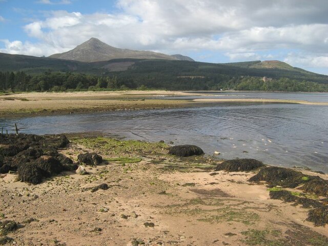
Glenrosa estuary
Part of the complex wetlands and distributary channels of Glenrosa Water meeting the sea in Brodick Bay.
 Map © Crown Copyright")
TIP: Click the map for more Large scale mapping
- Grid Square
- NS0136, 132 images (more nearby 🔍)
- Photographer
- Jonathan Wilkins (more nearby)
- Date Taken
- Monday, 5 September, 2022 (more nearby)
- Submitted
- Sunday, 11 December, 2022
- Subject Location
-
OSGB36:
 NS 0136 3648 [10m precision]
WGS84: 55:34.8808N 5:9.1823W - Camera Location
-
OSGB36: NS 0142 3632
- View Direction
- North-northwest (about 337 degrees)