2022
TQ5618 : Site of Waldron Furnace
taken 1 year ago, near to Horam, East Sussex, England
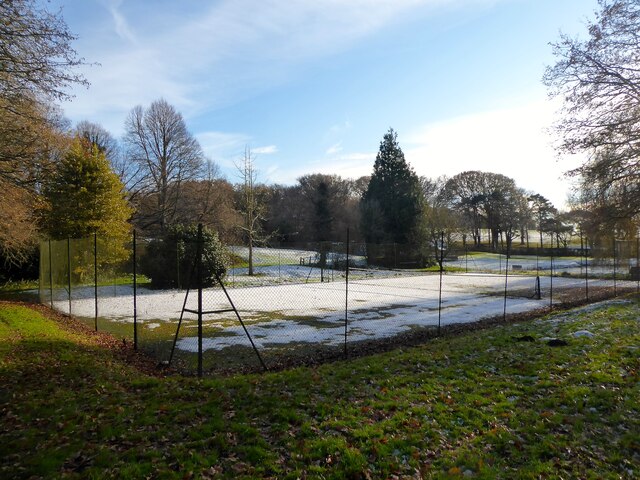
Site of Waldron Furnace
On Waldron's 1841 tithe map the site was called Furnace Plot, the house to the east dates back to the 17th century and is called The Furnace, the lane to the south is Furnace Lane and the wood further to the east is Furnace Wood.
The furnace operated on this spot from around 1571 to 1758 and is known to have produced ordnance for the government in the form of shells in the late 17th century. To the immediate north, just out of shot, is the TQ5618 : Pond Bay, Waldron Furnace, beyond which is TQ5618 : Pond Field. On the eastern side of the pond bay is a breach believed to have powered by the wheel, see TQ5618 : Former Tail Race, Waldron Furnace. The pond to the south is modern.
The furnace operated on this spot from around 1571 to 1758 and is known to have produced ordnance for the government in the form of shells in the late 17th century. To the immediate north, just out of shot, is the TQ5618 : Pond Bay, Waldron Furnace, beyond which is TQ5618 : Pond Field. On the eastern side of the pond bay is a breach believed to have powered by the wheel, see TQ5618 : Former Tail Race, Waldron Furnace. The pond to the south is modern.
 Map © Crown Copyright")
TIP: Click the map for more Large scale mapping
- Grid Square
- TQ5618, 43 images (more nearby 🔍)
- Photographer
- Simon Carey (more nearby)
- Date Taken
- Saturday, 17 December, 2022 (more nearby)
- Submitted
- Monday, 19 December, 2022
- Subject Location
-
OSGB36:
 TQ 5660 1804 [10m precision]
WGS84: 50:56.4325N 0:13.6540E - Camera Location
-
OSGB36: TQ 5659 1808
- View Direction
- South-southeast (about 157 degrees)