2023
NS8311 : View down Glendyne
taken 1 year ago, 3 km from Auchengruith, Dumfries And Galloway, Scotland
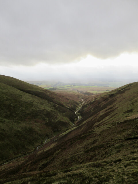
View down Glendyne
The Glendyne Burn, a tributary of the River Nith, running down off the Lowther Hills.
 Map © Crown Copyright")
TIP: Click the map for more Large scale mapping
- Grid Square
- NS8311, 10 images (more nearby 🔍)
- Photographer
- Alan O'Dowd (more nearby)
- Date Taken
- Friday, 6 January, 2023 (more nearby)
- Submitted
- Saturday, 7 January, 2023
- Subject Location
-
OSGB36:
 NS 8338 1186 [10m precision]
WGS84: 55:23.2080N 3:50.5466W - Camera Location
-
OSGB36: NS 8351 1203
- View Direction
- Southwest (about 225 degrees)