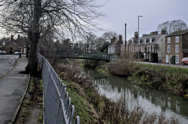
TF2422 : River and footbridge
taken 1 year ago, near to Spalding, Lincolnshire, England
See other images of Bridges over the River Welland
The River Welland is a river in the east of England, some 65 miles long. It rises in the Hothorpe Hills, at Sibbertoft in Northamptonshire, then flows generally northeast to Market Harborough, Stamford and Spalding, to reach The Wash near Fosdyke. For much of its length it forms the county boundary between Northamptonshire and Leicestershire, Rutland, Lincolnshire and Cambridgeshire. It is a major waterway across the part of The Fens called South Holland, and is one of the Fenland rivers which were laid out with washlands. There are two channels between widely-spaced embankments with the intention that flood waters would have space in which to spread while the tide in the estuary prevented free egress. However, after the floods of 1947, new works such as the Coronation Channel were constructed to control flooding in Spalding and the washes are no longer used solely as pasture, but may be used for arable farming.
The Environment Agency is the navigation authority for the river, which is navigable as far upstream as Crowland, and with very shallow draught to West Deeping Bridge. The lock around the weir there is not usable. The traditional head of navigation was Wharf Road in Stamford. The management of the lower river has been intimately tied up with the drainage of Deeping Fen, and the river remains important to the Welland and Deepings Internal Drainage Board, for whom it provides the final conduit to the sea for pumped water. It is tidal as far upstream as Fulney Lock (from Wikipedia).
 Map © Crown Copyright")
- Grid Square
- TF2422, 340 images (more nearby 🔍)
- Photographer
- Bob Harvey (more nearby)
- Date Taken
- Sunday, 8 January, 2023 (more nearby)
- Submitted
- Sunday, 8 January, 2023
- Subject Location
-
OSGB36:
 TF 2481 2220 [10m precision]
WGS84: 52:46.9775N 0:9.0542W - Camera Location
-
OSGB36: TF 2483 2225
- View Direction
- South-southwest (about 202 degrees)