2023
NZ1049 : Looking SW from Knitsley Lane
taken 1 year ago, near to Knitsley, County Durham, England
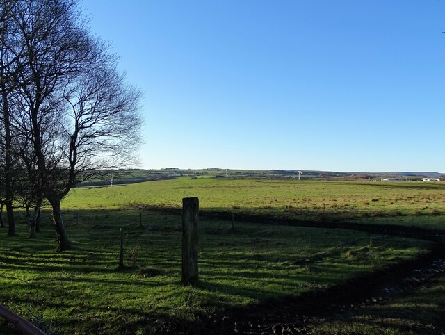
Looking SW from Knitsley Lane
View over the countryside south of Consett town centre. On the right is part of Hownsgill Industrial Estate. This lane leads out into the countryside.
 Map © Crown Copyright")
TIP: Click the map for more Large scale mapping
- Grid Square
- NZ1049, 93 images (more nearby 🔍)
- Photographer
- Robert Graham (more nearby)
- Date Taken
- Monday, 2 January, 2023 (more nearby)
- Submitted
- Wednesday, 11 January, 2023
- Subject Location
-
OSGB36:
 NZ 1067 4956 [10m precision]
WGS84: 54:50.4447N 1:50.1232W - Camera Location
-
OSGB36: NZ 1095 4980
- View Direction
- Southwest (about 225 degrees)