2022
SU6990 : Arable farmland near Cookley Green
taken 2 years ago, near to Cookley Green, Oxfordshire, England
This is 1 of 2 images, with title Arable farmland near Cookley Green in this square
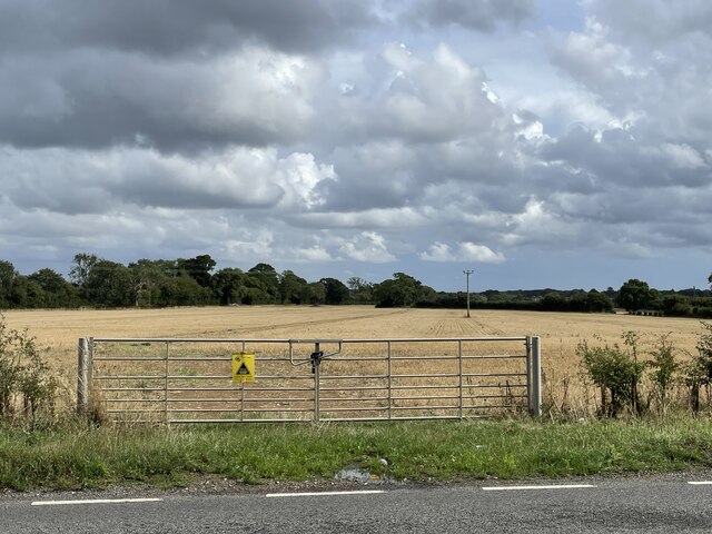
Arable farmland near Cookley Green
Looking south-east from Red Lane, just north of the village.
 Map © Crown Copyright")
TIP: Click the map for more Large scale mapping
- Grid Square
- SU6990, 53 images (more nearby 🔍)
- Photographer
- Simon Mortimer (more nearby)
- Date Taken
- Wednesday, 7 September, 2022 (more nearby)
- Submitted
- Tuesday, 17 January, 2023
- Subject Location
-
OSGB36:
 SU 6983 9045 [10m precision]
WGS84: 51:36.5138N 0:59.5803W - Camera Location
-
OSGB36: SU 6980 9046
- View Direction
- East-southeast (about 112 degrees)