2006
SD7112 : Vew of ancient path from Eagley Bank to Blackburn Road
taken 18 years ago, near to Toppings, Bolton, England
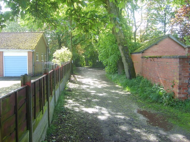
Vew of ancient path from Eagley Bank to Blackburn Road
View westwards of footpath that runs from Playfair Street/The Gardens towards Makants Farm and Blackburn Road (A666).
 Map © Crown Copyright")
TIP: Click the map for more Large scale mapping
- Grid Square
- SD7112, 50 images (more nearby 🔍)
- Photographer
- Earnest Lad (more nearby)
- Date Taken
- Saturday, 30 September, 2006 (more nearby)
- Submitted
- Saturday, 21 January, 2023
- Subject Location
-
OSGB36:
 SD 716 129 [100m precision]
WGS84: 53:36.7125N 2:25.8443W - Camera Location
-
OSGB36: SD 716 129
- View Direction
- WEST (about 270 degrees)