2023
SU7377 : Farmland, Dunsden
taken 1 year ago, near to Dunsden Green, Oxfordshire, England
This is 1 of 3 images, with title Farmland, Dunsden in this square
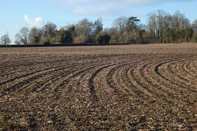
Farmland, Dunsden
The old vicarage (now the Glebe House) is glimpsed amongst the trees.
 Map © Crown Copyright")
TIP: Click the map for more Large scale mapping
- Grid Square
- SU7377, 33 images (more nearby 🔍)
- Photographer
- Andrew Smith (more nearby)
- Date Taken
- Thursday, 19 January, 2023 (more nearby)
- Submitted
- Monday, 23 January, 2023
- Subject Location
-
OSGB36:
 SU 736 774 [100m precision]
WGS84: 51:29.4564N 0:56.4345W - Camera Location
-
OSGB36: SU 737 773
- View Direction
- West-northwest (about 292 degrees)