2023
NZ0741 : Rough vegetation along route of old railway
taken 1 year ago, 4 km WSW of Satley, County Durham, England
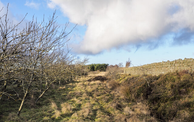
Rough vegetation along route of old railway
A thin path along the route of the disused railway heading towards Salter's Gate.
 Map © Crown Copyright")
TIP: Click the map for more Large scale mapping
- Grid Square
- NZ0741, 24 images (more nearby 🔍)
- Photographer
- Trevor Littlewood (more nearby)
- Date Taken
- Wednesday, 25 January, 2023 (more nearby)
- Submitted
- Wednesday, 25 January, 2023
- Subject Location
-
OSGB36:
 NZ 0785 4189 [10m precision]
WGS84: 54:46.3123N 1:52.7701W - Camera Location
-
OSGB36: NZ 0786 4184
- View Direction
- North-northwest (about 337 degrees)