2023
ST3439 : Off the official route
taken 1 year ago, near to Bawdrip, Somerset, England
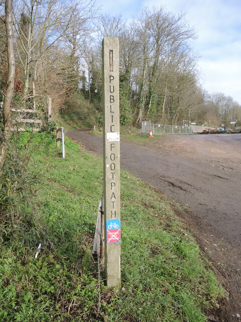
Off the official route
A footpath marker denotes that this is not part of the National Cycle Network. The path carries over the old railway embankment for a short stretch before dropping down the slope.
 Map © Crown Copyright")
TIP: Click the map for more Large scale mapping
- Grid Square
- ST3439, 59 images (more nearby 🔍)
- Photographer
- Neil Owen (more nearby)
- Date Taken
- Thursday, 26 January, 2023 (more nearby)
- Submitted
- Sunday, 29 January, 2023
- Subject Location
-
OSGB36:
 ST 3424 3970 [10m precision]
WGS84: 51:9.1657N 2:56.4966W - Camera Location
-
OSGB36: ST 3424 3970
- View Direction
- North-northwest (about 337 degrees)