2023
TQ5178 : View from Erith Pier
taken 1 year ago, near to Erith, Bexley, England
This is 1 of 7 images, with title View from Erith Pier in this square
View from Erith Pier
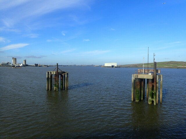
Erith Pier is the longest pier in London. It was originally built for bringing coal ashore but was derelict for many years. It was restored and opened to the public by Morrisons as part of an agreement to build a supermarket nearby. This view from the pier looks upriver. Erith Oil Works is on the left in the distance while the hill on the right is the waste tip on Aveley Marshes near Coldharbour Point.
 Map © Crown Copyright")
TIP: Click the map for more Large scale mapping
- Grid Square
- TQ5178, 167 images (more nearby 🔍)
- Photographer
- Marathon (more nearby)
- Date Taken
- Monday, 30 January, 2023 (more nearby)
- Submitted
- Wednesday, 1 February, 2023
- Subject Location
-
OSGB36:
 TQ 5164 7827 [10m precision]
WGS84: 51:28.9836N 0:10.9480E - Camera Location
-
OSGB36: TQ 5178 7820
- View Direction
- West-northwest (about 292 degrees)