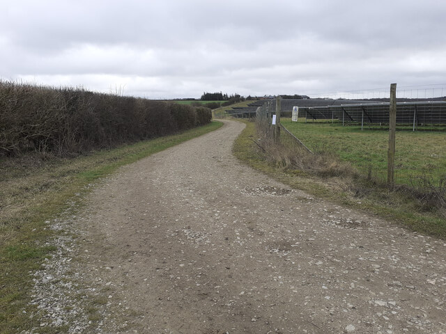
SU3844 : Footpath along east side of Cowdown Solar Farm
taken 1 year ago, near to Andover Down, Hampshire, England
On 20th December 2022 a planning application number 22/03267/FULLN was submitted to Test Valley Borough Council by Acorn Bioeneregy Ltd for the construction and operation of an anaerobic digestion plant at a site filling the southwest quadrant of the junction between the A303 and A3093 roads south of Andover. Article in Andover Advertiser Link
.
The plant would occupy the whole of the field bounded to the north by the A303 and its junction, to the southeast by Cowdown Lane, and to the southwest by the public footpath and Cowdown Solar Farm. It was proposed that the site would access onto Cowdown Lane.
At time of application the site was a grass agricultural field generously bathed in traffic noise from the A303 and A3093. The plant would process about 91,000 tonnes of feedstock per annum and produce up to 19 million cubic metres of biogas.
There was vigorous opposition to this scheme from Goodworth Clatford and Upper Clatford parish councils.
 Map © Crown Copyright")
- Grid Square
- SU3844, 46 images (more nearby 🔍)
- Photographer
- Peter Facey (more nearby)
- Date Taken
- Saturday, 18 February, 2023 (more nearby)
- Submitted
- Saturday, 18 February, 2023
- Subject Location
-
OSGB36:
 SU 3824 4457 [10m precision]
WGS84: 51:11.9443N 1:27.2451W - Camera Location
-
OSGB36: SU 3817 4466
- View Direction
- Southeast (about 135 degrees)