J3168 : The Lagan Tow Path, below the Mary Peters Track
taken 16 years ago, near to Drumbeg, Co Down, Northern Ireland
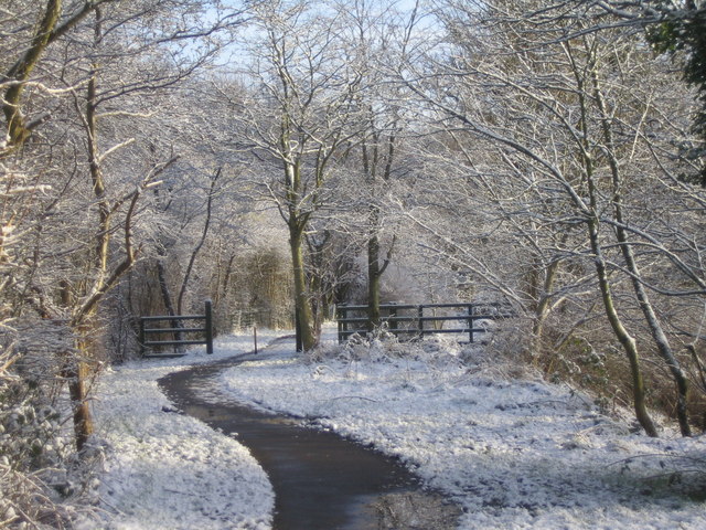
The Lagan Tow Path, below the Mary Peters Track
![Creative Commons Licence [Some Rights Reserved]](https://s1.geograph.org.uk/img/somerights20.gif)
|
· Find out How to reuse this image ·
Share:
|
|||||
| Start a discussion on J3168 | Suggest an update to this image | Contact the contributor | |||
Loading map... (JavaScript required)
- Grid Square
- J3168, 87 images (more nearby
 )
)
- Photographer
- Gordon Hull (find more nearby)
- Date Taken
- Saturday, 2 February, 2008 (more nearby)
- Submitted
- Saturday, 29 March, 2008
- Category
- River bank (more nearby)
- Subject Location
-
Irish:
 J 317 680 [100m precision]
WGS84: 54:32.6299N 5:57.9235W - Camera Location
-
Irish: J 316 680
- View Direction
- East-northeast (about 67 degrees)
Image classification(about):
Geograph (Fourth Visitor for J3168)
This page has been viewed about 75 times.
View this location:
KML (Google Earth) ·
Google Maps ·
Bing Maps ·
Geograph Coverage Map ·
More Links for this image
·
Bing Maps ·
Geograph Coverage Map ·
More Links for this image