2023
SN1946 : Pont Rhyd-y-fuwch, East side, North face
taken 1 year ago, near to Llangoedmor, Ceredigion/Sir Ceredigion, Wales
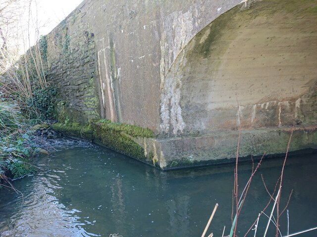
Pont Rhyd-y-fuwch, East side, North face
The North face of the North parapet bore an Ordnance Survey benchmark:
The mark was used on the Brecknock to Cardigan line of the First Primary Levelling of England & Wales in 1856. It was levelled with a height of 28.966' above OD (Liverpool). Description: 121. Mark on East pier of small bridge, over stream crossing road ; 5.19 ft. below top of parapet. Page 572 of the abstract: Link
The mark was replaced by a BM on the South face at the West end of the parapet by 1904:
SN1946 : Pont Rhyd-y-fuwch, erased Ordnance Survey benchmark
South face: SN1946 : Pont Rhyd-y-fuwch, Llangoedmor
 Map © Crown Copyright")
TIP: Click the map for more Large scale mapping
- Grid Square
- SN1946, 9 images (more nearby 🔍)
- Photographer
- N Scott (more nearby)
- Date Taken
- Monday, 27 March, 2023 (more nearby)
- Submitted
- Friday, 31 March, 2023
- Subject Location
-
OSGB36:
 SN 1927 4605 [10m precision]
WGS84: 52:4.9933N 4:38.3440W - Camera Location
-
OSGB36: SN 1926 4605
- View Direction
- East-southeast (about 112 degrees)