S7848 : Wall and Plough
taken 1 year ago, near to Ballymurphy, Co Carlow, Ireland
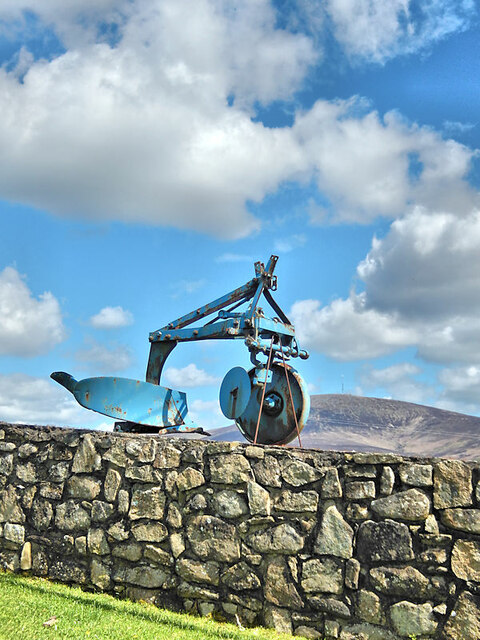
Wall and Plough
Disused plough on display on wall at Ballybrack, about 1.5km NE of Ballymurphy.
![Creative Commons Licence [Some Rights Reserved]](https://s1.geograph.org.uk/img/somerights20.gif)
|
· Find out How to reuse this image ·
Share:
|
|||||
| Start a discussion on S7848 | Suggest an update to this image | Contact the contributor | |||
Loading map... (JavaScript required)
- Grid Square
- S7848, 6 images (more nearby
 )
)
- Photographer
- kevin higgins (find more nearby)
- Date Taken
- Friday, 14 April, 2023 (more nearby)
- Submitted
- Saturday, 15 April, 2023
- Geographical Context
- Primary Subject of Photo
- Subject Location
-
Irish:
 S 7815 4852 [10m precision]
WGS84: 52:34.9655N 6:50.8681W - Camera Location
-
Irish: S 7812 4848
- View Direction
- North-northeast (about 22 degrees)
Image Type (about):
close look
This page has been viewed about 17 times.
View this location:
KML (Google Earth) ·
Google Maps ·
Bing Maps ·
Geograph Coverage Map ·
More Links for this image
·
Bing Maps ·
Geograph Coverage Map ·
More Links for this image