2023
SN1645 : Ordnance Survey Benchmark - St. Dogmael's, Adfer
taken 1 year ago, near to St Dogmaels, Pembrokeshire/Sir Benfro, Wales
This is 1 of 2 images, with title Ordnance Survey Benchmark - St. Dogmael's, Adfer in this square
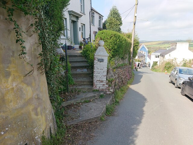
Ordnance Survey Benchmark - St. Dogmael's, Adfer
Ordnance Survey Benchmark (OSBM) used for levelling height above Ordnance Datum (OD).
Height: 40.353m OD (Newlyn). Mark verified by the Ordnance Survey in 1954. Description: NBM GTP WALL JUNC NW SIDE RD. 0.4m above ground. 3rd Order BM.
Close-up: SN1645 : Ordnance Survey Benchmark - St. Dogmael's, Adfer
Height: 40.353m OD (Newlyn). Mark verified by the Ordnance Survey in 1954. Description: NBM GTP WALL JUNC NW SIDE RD. 0.4m above ground. 3rd Order BM.
Close-up: SN1645 : Ordnance Survey Benchmark - St. Dogmael's, Adfer
 Map © Crown Copyright")
TIP: Click the map for more Large scale mapping
- Grid Square
- SN1645, 137 images (more nearby 🔍)
- Photographer
- N Scott (more nearby)
- Date Taken
- Sunday, 16 April, 2023 (more nearby)
- Submitted
- Sunday, 16 April, 2023
- Subject Location
-
OSGB36:
 SN 1619 4591 [10m precision]
WGS84: 52:4.8570N 4:41.0333W - Camera Location
-
OSGB36: SN 1619 4591
- View Direction
- NORTH (about 0 degrees)