2018
NZ1853 : Tanfield Lea Road
taken 5 years ago, near to South Moor, County Durham, England
This is 1 of 3 images, with title starting with Tanfield Lea in this square
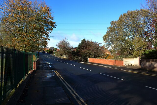
Tanfield Lea Road
Tanfield Lea Road's crossing over Houghall Burn can be identified by the brick abutments on either side of the road.
 Map © Crown Copyright")
TIP: Click the map for more Large scale mapping
- Grid Square
- NZ1853, 32 images (more nearby 🔍)
- Photographer
- Graham Robson (more nearby)
- Date Taken
- Sunday, 28 October, 2018 (more nearby)
- Submitted
- Saturday, 22 April, 2023
- Subject Location
-
OSGB36:
 NZ 1887 5379 [10m precision]
WGS84: 54:52.7111N 1:42.4461W - Camera Location
-
OSGB36: NZ 1888 5377
- View Direction
- North-northwest (about 337 degrees)