2023
SH6560 : Southern shore of Llyn Ogwen
taken 12 months ago, near to Pont Pen-y-Benglog, Conwy, Wales
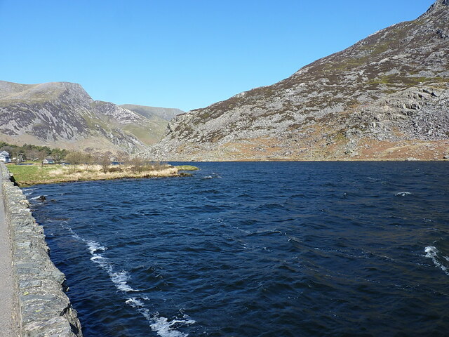
Southern shore of Llyn Ogwen
Looking along the roadside wall, with the hills on the western side of the Nant Ffrancon in the distance.
 Map © Crown Copyright")
TIP: Click the map for more Large scale mapping
- Grid Square
- SH6560, 155 images (more nearby 🔍)
- Photographer
- Richard Law (more nearby)
- Date Taken
- Thursday, 20 April, 2023 (more nearby)
- Submitted
- Thursday, 27 April, 2023
- Subject Location
-
OSGB36:
 SH 6537 6029 [10m precision]
WGS84: 53:7.3640N 4:0.7991W - Camera Location
-
OSGB36: SH 65398 60293
- View Direction
- WEST (about 270 degrees)