2023
TQ6976 : East Tilbury : Coalhouse Fort
taken 12 months ago, near to East Tilbury, Thurrock, England
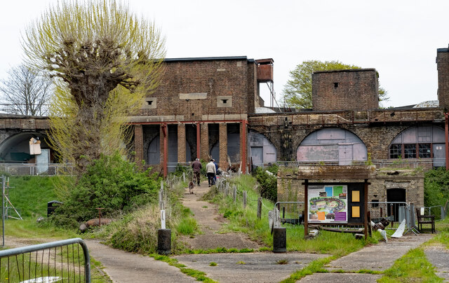
East Tilbury : Coalhouse Fort
"Coalhouse Fort is a remarkably well preserved late 19th century fort built on the recommendation of the Royal Commission on the Defence of the UK in 1860. It is one of the finest examples of an armoured casemate fort in England ... " - Link .
.
 Map © Crown Copyright")
TIP: Click the map for more Large scale mapping
- Grid Square
- TQ6976, 46 images (more nearby 🔍)
- Photographer
- Jim Osley (more nearby)
- Date Taken
- Thursday, 27 April, 2023 (more nearby)
- Submitted
- Sunday, 30 April, 2023
- Subject Location
-
OSGB36:
 TQ 6905 7686 [10m precision]
WGS84: 51:27.9278N 0:25.9376E - Camera Location
-
OSGB36: TQ 6899 7679
- View Direction
- Northeast (about 45 degrees)