2023
SX1697 : Farm track towards Higher Tresmorn
taken 11 months ago, near to St Gennys, Cornwall, England
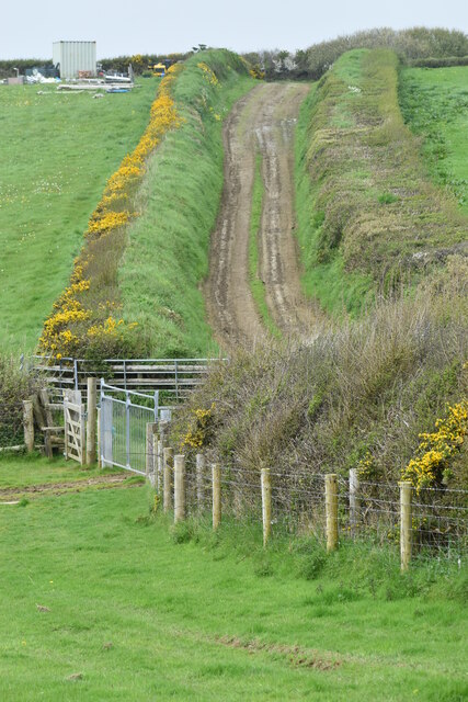
Farm track towards Higher Tresmorn
The footpath descends the nearest field and climbs the track.
 Map © Crown Copyright")
TIP: Click the map for more Large scale mapping
- Grid Square
- SX1697, 12 images (more nearby 🔍)
- Photographer
- David Martin (more nearby)
- Date Taken
- Saturday, 29 April, 2023 (more nearby)
- Submitted
- Friday, 5 May, 2023
- Subject Location
-
OSGB36:
 SX 1619 9752 [10m precision]
WGS84: 50:44.8866N 4:36.4138W - Camera Location
-
OSGB36: SX 1618 9737
- View Direction
- NORTH (about 0 degrees)