2023
SU7796 : Farmland, Stokenchurch
taken 11 months ago, near to Stokenchurch, Buckinghamshire, England
This is 1 of 10 images, with title Farmland, Stokenchurch in this square
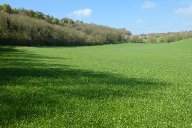
Farmland, Stokenchurch
Alongside the northern edge of Pophley's Wood.
 Map © Crown Copyright")
TIP: Click the map for more Large scale mapping
- Grid Square
- SU7796, 26 images (more nearby 🔍)
- Photographer
- Andrew Smith (more nearby)
- Date Taken
- Saturday, 29 April, 2023 (more nearby)
- Submitted
- Saturday, 6 May, 2023
- Subject Location
-
OSGB36:
 SU 771 966 [100m precision]
WGS84: 51:39.8006N 0:53.1486W - Camera Location
-
OSGB36: SU 774 967
- View Direction
- West-southwest (about 247 degrees)