2023
SE5952 : Path near St Peter's School
taken 11 months ago, near to York, England
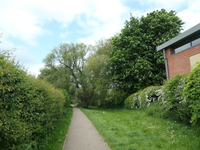
Path near St Peter's School
On the route of York's longest snicket, as mapped in 'A Walk around the Snickelways of York', by Mark W. Jones [2nd edition, 1984]. A snickelway is a narrow passageway or alley between walls, fences or buildings.
 Map © Crown Copyright")
TIP: Click the map for more Large scale mapping
- Grid Square
- SE5952, 1035 images (more nearby 🔍)
- Photographer
- Christine Johnstone (more nearby)
- Date Taken
- Tuesday, 16 May, 2023 (more nearby)
- Submitted
- Thursday, 25 May, 2023
- Subject Location
-
OSGB36:
 SE 5939 5257 [10m precision]
WGS84: 53:57.9484N 1:5.7728W - Camera Location
-
OSGB36: SE 5941 5255
- View Direction
- North-northwest (about 337 degrees)