2023
SU3454 : Downland, Vernhams Dean
taken 11 months ago, near to Upton, Hampshire, England
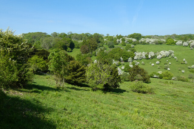
Downland, Vernhams Dean
A view from the restricted byway on Rushmore Down. A steep combe with areas of scrub and woodland is used as a game reserve.
 Map © Crown Copyright")
TIP: Click the map for more Large scale mapping
- Grid Square
- SU3454, 16 images (more nearby 🔍)
- Photographer
- Andrew Smith (more nearby)
- Date Taken
- Wednesday, 24 May, 2023 (more nearby)
- Submitted
- Saturday, 27 May, 2023
- Subject Location
-
OSGB36:
 SU 346 544 [100m precision]
WGS84: 51:17.2990N 1:30.2791W - Camera Location
-
OSGB36: SU 348 543
- View Direction
- West-northwest (about 292 degrees)