2023
NZ1530 : The Weardale Way through Witton Park
taken 11 months ago, near to Witton-le-Wear, County Durham, England
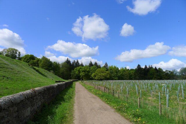
The Weardale Way through Witton Park
A 77 mile route following the River Wear from the sea at the Lindesfarne Memorial, Sunderland to the headwaters in the east Pennines, keeping as close as is possible to the river. It visits Lumley Castle, Durham (where the Castle and Cathedral forms a World Heritage Site), Bishop Auckland and Stanhope. After Stanhope the Way makes a northward loop to Rookhope to take in part of a tributary, Rookhope Burn.
See other images of Weardale Way
See other images of Weardale Way
 Map © Crown Copyright")
TIP: Click the map for more Large scale mapping
- Grid Square
- NZ1530, 27 images (more nearby 🔍)
- Photographer
- Tim Heaton (more nearby)
- Date Taken
- Monday, 15 May, 2023 (more nearby)
- Submitted
- Sunday, 28 May, 2023
- Subject Location
-
OSGB36:
 NZ 1501 3064 [10m precision]
WGS84: 54:40.2367N 1:46.1269W - Camera Location
-
OSGB36: NZ 1509 3068
- View Direction
- West-southwest (about 247 degrees)