D1237 : Gate, Knocklayd
taken 10 months ago, 4 km SSE of Ballycastle, Co Antrim, Northern Ireland
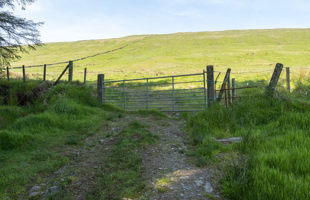
Gate, Knocklayd
The gate and fence mark the boundary of Ballycastle Forest and Knocklayd - the ascent to the summit is short from here but deceptively steep.
![Creative Commons Licence [Some Rights Reserved]](https://s1.geograph.org.uk/img/somerights20.gif)
|
· Find out How to reuse this image ·
Share:
|
|||||
| Start a discussion on D1237 | Suggest an update to this image | Contact the contributor | |||
Loading map... (JavaScript required)
- Grid Square
- D1237, 2 images (more nearby
 )
)
- Photographer
- Rossographer (find more nearby)
- Date Taken
- Monday, 29 May, 2023 (more nearby)
- Submitted
- Tuesday, 30 May, 2023
- Geographical Context
- Primary Subject of Photo
- Subject Location
-
Irish:
 D 12291 37072 [1m precision]
WGS84: 55:10.0827N 6:14.3184W - Camera Location
-
Irish: D 1230 3708
- View Direction
- Southwest (about 225 degrees)
Other Tags
This page has been viewed about 27 times.
View this location:
KML (Google Earth) ·
Google Maps ·
Bing Maps ·
Geograph Coverage Map ·
More Links for this image
·
Bing Maps ·
Geograph Coverage Map ·
More Links for this image