C9834 : The Toberdoney Road
taken 10 months ago, 3 km from Dervock, Co Antrim, Northern Ireland
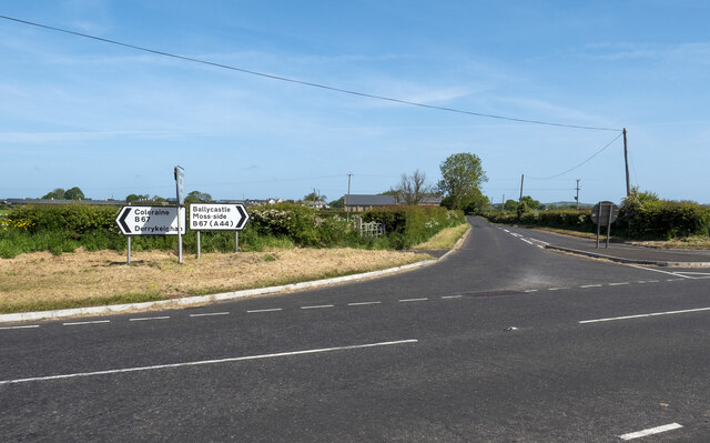
The Toberdoney Road
The Toberdoney Road at the crossroads with the Moyarget Road near Dervock.
![Creative Commons Licence [Some Rights Reserved]](https://s1.geograph.org.uk/img/somerights20.gif)
|
· Find out How to reuse this image ·
Share:
|
|||||
| Start a discussion on C9834 | Suggest an update to this image | Contact the contributor | |||
Loading map... (JavaScript required)
- Grid Square
- C9834, 9 images (more nearby
 )
)
- Photographer
- Rossographer (find more nearby)
- Date Taken
- Monday, 29 May, 2023 (more nearby)
- Submitted
- Wednesday, 31 May, 2023
- Geographical Context
- Primary Subject of Photo
- Subject Location
-
Irish:
 C 9828 3431 [10m precision]
WGS84: 55:8.7733N 6:27.5620W - Camera Location
-
Irish: C 9827 3428
- View Direction
- NORTH (about 0 degrees)
Other Tags
This page has been viewed about 21 times.
View this location:
KML (Google Earth) ·
Google Maps ·
Bing Maps ·
Geograph Coverage Map ·
More Links for this image
·
Bing Maps ·
Geograph Coverage Map ·
More Links for this image