2008
SH5454 : Foel Rudd Summit Cairn
taken 16 years ago, near to Betws Garmon, Gwynedd, Wales
This is 1 of 4 images, with title starting with Foel in this square
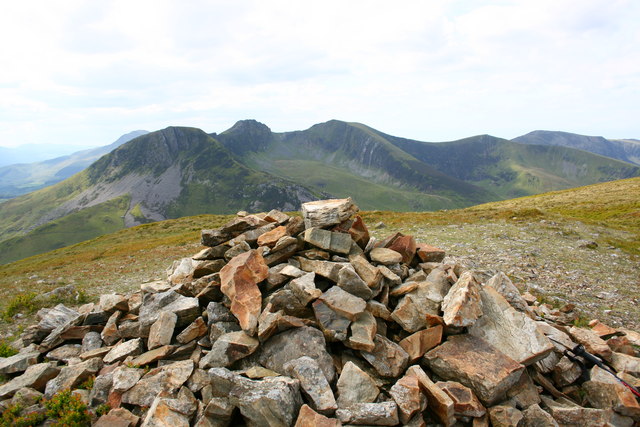
Foel Rudd Summit Cairn
The 573 metre Foel Rudd summit cairn looking south-southeast towards the Nantlle Ridge on route to Mynydd Mawr.
 Map © Crown Copyright")
TIP: Click the map for more Large scale mapping
- Grid Square
- SH5454, 23 images (more nearby 🔍)
- Photographer
- Terry Hughes (more nearby)
- Date Taken
- Tuesday, 20 May, 2008 (more nearby)
- Submitted
- Friday, 30 May, 2008
- Subject Location
-
OSGB36:
 SH 548 544 [100m precision]
WGS84: 53:4.0362N 4:10.0679W - Camera Location
-
OSGB36: SH 548 544
- View Direction
- South-southeast (about 157 degrees)