M3404 : Pasture land - Keelhilla Townland
taken 16 years ago, 5 km WSW of Killinny, Co Galway, Ireland
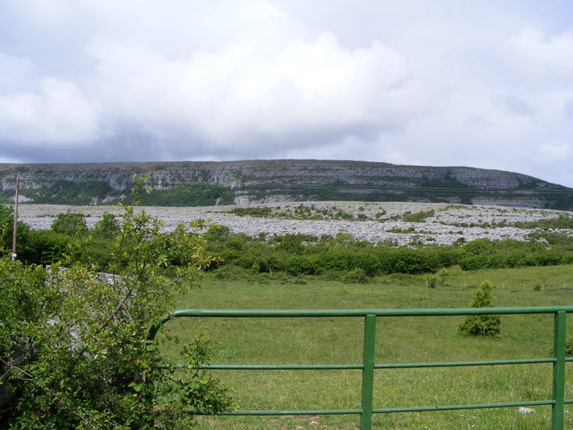
Pasture land - Keelhilla Townland
Looking over pasture land to Slievecarran and the Keelhilla National Nature Reserve.
![Creative Commons Licence [Some Rights Reserved]](https://s1.geograph.org.uk/img/somerights20.gif)
|
· Find out How to reuse this image ·
Share:
|
|||||
| Start a discussion on M3404 | Suggest an update to this image | Contact the contributor | |||
Loading map... (JavaScript required)
- Grid Square
- M3404 (more nearby
 )
)
- Photographer
- Mac McCarron (find more nearby)
- Date Taken
- Friday, 6 June, 2008 (more nearby)
- Submitted
- Friday, 6 June, 2008
- Geographical Context
- Category
- Pasture (more nearby)
- Subject Location
-
Irish:
 M 340 043 [100m precision]
WGS84: 53:5.1799N 8:59.0818W - Camera Location
-
Irish: M 342 042
- View Direction
- West-northwest (about 292 degrees)
Other Tags
This page has been viewed about 73 times.
View this location:
KML (Google Earth) ·
Google Maps ·
Bing Maps ·
Geograph Coverage Map ·
More Links for this image
·
Bing Maps ·
Geograph Coverage Map ·
More Links for this image