2005
NN9848 : Glenalbert Burn upstream of forest track towards Sophia
taken 18 years ago, near to Kincraigie, Perth And Kinross, Scotland
This is 1 of 2 images, with title starting with Glenalbert in this square
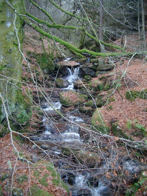
Glenalbert Burn upstream of forest track towards Sophia
This burn runs down to cross the B898 just near Glenalbert Farm (NN9948). Taken from the forest track.
 Map © Crown Copyright")
TIP: Click the map for more Large scale mapping
- Grid Square
- NN9848, 10 images (more nearby 🔍)
- Photographer
- Kirsty Smith (more nearby)
- Date Taken
- Sunday, 27 November, 2005 (more nearby)
- Submitted
- Monday, 28 November, 2005
- Subject Location
-
OSGB36:
 NN 984 482 [100m precision]
WGS84: 56:36.8769N 3:39.4238W - Camera Location
-
OSGB36: NN 984 482
- View Direction
- West-southwest (about 247 degrees)