J4053 : The Drumgiven Road near Ballynahinch
taken 16 years ago, 4 km ENE of Ballynahinch, Co Down, Northern Ireland
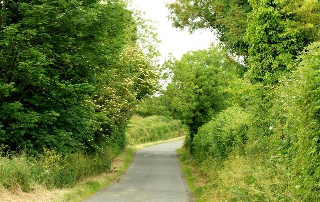
The Drumgiven Road near Ballynahinch
A minor road running off the Cahard Road J4056 : The Cahard Road near Saintfield.
![Creative Commons Licence [Some Rights Reserved]](https://s1.geograph.org.uk/img/somerights20.gif)
|
· Find out How to reuse this image ·
Share:
|
|||||
| Start a discussion on J4053 | Suggest an update to this image | Contact the contributor | |||
Loading map... (JavaScript required)
- Grid Square
- J4053 (more nearby
 )
)
- Photographer
- Albert Bridge (find more nearby)
- Date Taken
- Thursday, 19 June, 2008 (more nearby)
- Submitted
- Thursday, 19 June, 2008
- Category
- Road > Road (more nearby)
- Subject Location
-
Irish:
 J 403 536 [100m precision]
WGS84: 54:24.7399N 5:50.3195W - Camera Location
-
Irish: J 404 536
- View Direction
- WEST (about 270 degrees)
This page has been viewed about 71 times.
View this location:
KML (Google Earth) ·
Google Maps ·
Bing Maps ·
Geograph Coverage Map ·
More Links for this image
·
Bing Maps ·
Geograph Coverage Map ·
More Links for this image