D0537 : Road at Carowcloghan
taken 16 years ago, near to The Dry Arch, Co Antrim, Northern Ireland
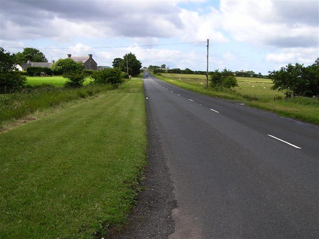
Road at Carowcloghan
Heading south-west in the direction of Dervock
![Creative Commons Licence [Some Rights Reserved]](https://s1.geograph.org.uk/img/somerights20.gif)
|
· Find out How to reuse this image ·
Share:
|
|||||
| Start a discussion on D0537 | Suggest an update to this image | Contact the contributor | |||
Loading map... (JavaScript required)
- Grid Square
- D0537 (more nearby
 )
)
- Photographer
- Kenneth Allen (find more nearby)
- Date Taken
- Thursday, 26 June, 2008 (more nearby)
- Submitted
- Friday, 27 June, 2008
- Category
- Road scene (more nearby)
- Subject Location
-
Irish:
 D 056 373 [100m precision]
WGS84: 55:10.2938N 6:20.6101W - Camera Location
-
Irish: D 057 374
- View Direction
- Southwest (about 225 degrees)
This page has been viewed about 30 times.
View this location:
KML (Google Earth) ·
Google Maps ·
Bing Maps ·
Geograph Coverage Map ·
More Links for this image
·
Bing Maps ·
Geograph Coverage Map ·
More Links for this image