2008
NN7205 : Forest track entering plantation
taken 16 years ago, 3 km from Burn of Cambus, Stirling, Scotland
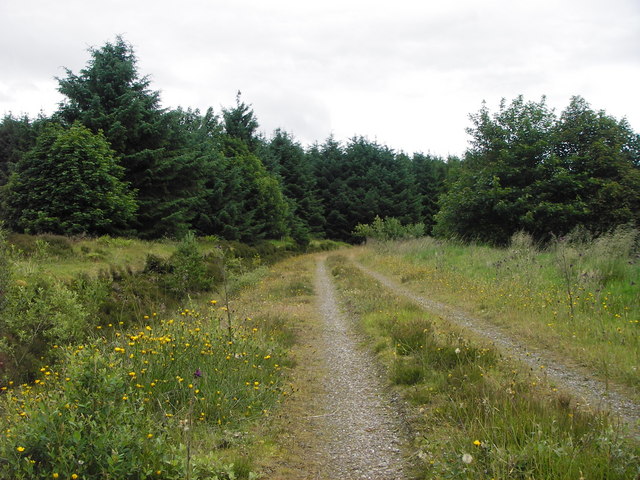
Forest track entering plantation
Just north of the old shed in the SE corner of the square.
 Map © Crown Copyright")
TIP: Click the map for more Large scale mapping
- Grid Square
- NN7205, 3 images (more nearby 🔍)
- Photographer
- Calum Macnee (more nearby)
- Date Taken
- Saturday, 12 July, 2008 (more nearby)
- Submitted
- Sunday, 13 July, 2008
- Subject Location
-
OSGB36:
 NN 729 052 [100m precision]
WGS84: 56:13.3557N 4:3.0842W - Camera Location
-
OSGB36: NN 729 051
- View Direction
- North-northwest (about 337 degrees)