J2070 : Stoneyford Bridge
taken 18 years ago, 5 km S of Dundrod, Co Antrim, Northern Ireland
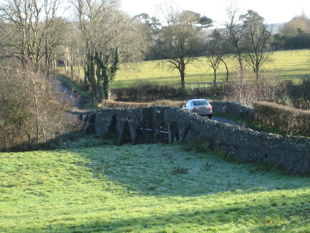
Stoneyford Bridge
Over the Stoneyford River.
![Creative Commons Licence [Some Rights Reserved]](https://s1.geograph.org.uk/img/somerights20.gif)
|
· Find out How to reuse this image ·
Share:
|
|||||
| Start a discussion on J2070 | Suggest an update to this image | Contact the contributor | |||
Loading map... (JavaScript required)
- Grid Square
- J2070, 4 images (more nearby
 )
)
- Photographer
- Brian Shaw (find more nearby)
- Date Taken
- Monday, 12 December, 2005 (more nearby)
- Submitted
- Monday, 12 December, 2005
- Category
- Bridge (more nearby)
- Subject Location
-
Irish:
 J 20 70 [1000m precision]
WGS84: 54:34.1064N 6:8.2598W
This page has been viewed about 119 times.
View this location:
KML (Google Earth) ·
Google Maps ·
Bing Maps ·
Geograph Coverage Map ·
More Links for this image
·
Bing Maps ·
Geograph Coverage Map ·
More Links for this image