O1851 : Farmland and Farm buildings at Deanestown Co. Dublin
taken 16 years ago, 4 km SE of Ballyboghil, Dublin, Ireland
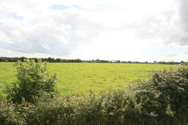
Farmland and Farm buildings at Deanestown Co. Dublin.
The farm buildings in the background are accessed from the private road shown in O1850 : Crossroads at Belinstown, Co. Dublin.
![Creative Commons Licence [Some Rights Reserved]](https://s1.geograph.org.uk/img/somerights20.gif)
|
· Find out How to reuse this image ·
Share:
|
|||||
| Start a discussion on O1851 | Suggest an update to this image | Contact the contributor | |||
Loading map... (JavaScript required)
- Grid Square
- O1851, 4 images (more nearby
 )
)
- Photographer
- Colm O hAonghusa (find more nearby)
- Date Taken
- Friday, 1 August, 2008 (more nearby)
- Submitted
- Sunday, 3 August, 2008
- Category
- Farmland (more nearby)
- Subject Location
-
Irish:
 O 18055 51535 [1m precision]
WGS84: 53:30.0461N 6:13.2991W - Camera Location
-
Irish: O 18055 51535
- View Direction
- East-southeast (about 112 degrees)
Image classification(about):
Geograph
This page has been viewed about 44 times.
View this location:
KML (Google Earth) ·
Google Maps ·
Bing Maps ·
Geograph Coverage Map ·
More Links for this image
·
Bing Maps ·
Geograph Coverage Map ·
More Links for this image