J2673 : Divis Road
taken 16 years ago, 5 km SSE of Clady, Co Antrim, Northern Ireland
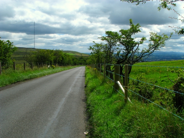
Divis Road
Looking down the road towards the Upper Springfield Road. The TV transmitter is seen on the left and you should just be able to see the Mourne Mountains in the distance to the right - on a clear day views from here are excellent.
![Creative Commons Licence [Some Rights Reserved]](https://s1.geograph.org.uk/img/somerights20.gif)
|
· Find out How to reuse this image ·
Share:
|
|||||
| Start a discussion on J2673 | Suggest an update to this image | Contact the contributor | |||
Loading map... (JavaScript required)
- Grid Square
- J2673, 7 images (more nearby
 )
)
- Photographer
- Rossographer (find more nearby)
- Date Taken
- Monday, 4 August, 2008 (more nearby)
- Submitted
- Monday, 4 August, 2008
- Category
- Country road (more nearby)
- Subject Location
-
Irish:
 J 268 738 [100m precision]
WGS84: 54:35.8127N 6:2.2957W - Camera Location
-
Irish: J 267 739
- View Direction
- South-southeast (about 157 degrees)
This page has been viewed about 56 times.
View this location:
KML (Google Earth) ·
Google Maps ·
Bing Maps ·
Geograph Coverage Map ·
More Links for this image
·
Bing Maps ·
Geograph Coverage Map ·
More Links for this image