2008
NN3663 : Grassy moorland for mile after mile
taken 16 years ago, near to Allt na Caim [water Feature], Highland, Great Britain
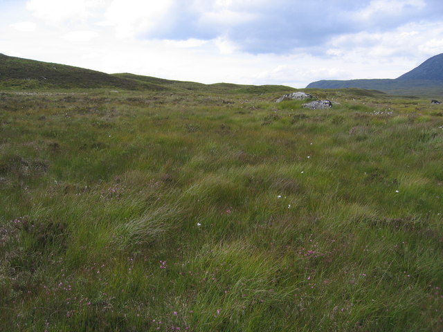
Grassy moorland for mile after mile
Deer tracks everywhere and not a human print to be seen.
 Map © Crown Copyright")
TIP: Click the map for more Large scale mapping
- Grid Square
- NN3663, 4 images (more nearby 🔍)
- Photographer
- Pip Rolls (more nearby)
- Date Taken
- Thursday, 24 July, 2008 (more nearby)
- Submitted
- Wednesday, 6 August, 2008
- Subject Location
-
OSGB36:
 NN 369 639 [100m precision]
WGS84: 56:44.3052N 4:40.0473W - Camera Location
-
OSGB36: NN 369 639
- View Direction
- Southwest (about 225 degrees)