N3945 : Cherry Island
taken 16 years ago, near to Dalystown, Co Westmeath, Ireland
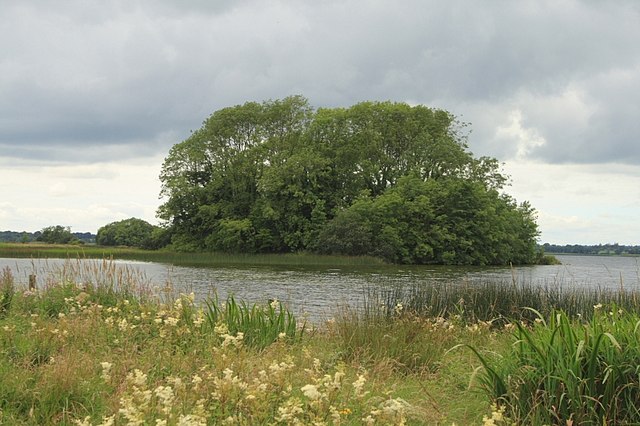
Cherry Island
Cherry Island on Lough Ennell, with lower water level now seems to be connected to the shore.
![Creative Commons Licence [Some Rights Reserved]](https://s1.geograph.org.uk/img/somerights20.gif)
|
· Find out How to reuse this image ·
Share:
|
|||||
| Start a discussion on N3945 | Suggest an update to this image | Contact the contributor | |||
Loading map... (JavaScript required)
- Grid Square
- N3945 (more nearby
 )
)
- Photographer
- kevin higgins (find more nearby)
- Date Taken
- Friday, 8 August, 2008 (more nearby)
- Submitted
- Sunday, 10 August, 2008
- Category
- Island (more nearby)
- Subject Location
-
Irish:
 N 398 450 [100m precision]
WGS84: 53:27.2646N 7:24.0347W - Camera Location
-
Irish: N 399 450
- View Direction
- Northwest (about 315 degrees)
This page has been viewed about 109 times.
View this location:
KML (Google Earth) ·
Google Maps ·
Bing Maps ·
Geograph Coverage Map ·
More Links for this image
·
Bing Maps ·
Geograph Coverage Map ·
More Links for this image