2008
NZ1483 : Railway bridge on disused line south of Molesden, Northumberland
taken 16 years ago, near to West Edington, Northumberland, England
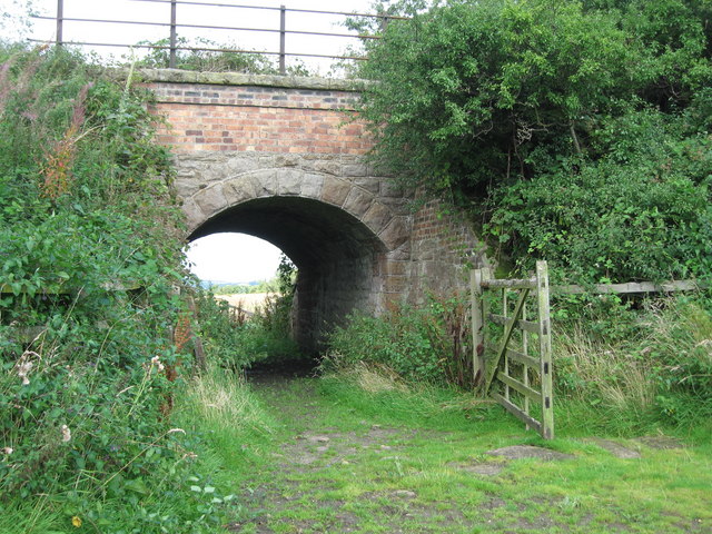
Railway bridge on disused line south of Molesden, Northumberland
 Map © Crown Copyright")
TIP: Click the map for more Large scale mapping
- Grid Square
- NZ1483, 3 images (more nearby 🔍)
- Photographer
- Norman MacKillop (more nearby)
- Date Taken
- Wednesday, 27 August, 2008 (more nearby)
- Submitted
- Wednesday, 27 August, 2008
- Subject Location
-
OSGB36:
 NZ 149 837 [100m precision]
WGS84: 55:8.8562N 1:46.0656W - Camera Location
-
OSGB36: NZ 149 836
- View Direction
- NORTH (about 0 degrees)