2005
ST5447 : Upper Milton
taken 18 years ago, near to Wells, Somerset, England
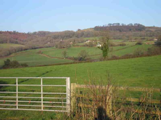
Upper Milton
Just a view showing the typical woodland and grazing in this area on the upper slopes of the Mendips. Not much else to find.
 Map © Crown Copyright")
TIP: Click the map for more Large scale mapping
- Grid Square
- ST5447, 27 images (more nearby 🔍)
- Photographer
- Graham Richards (more nearby)
- Date Taken
- Friday, 23 December, 2005 (more nearby)
- Submitted
- Friday, 23 December, 2005
- Subject Location
-
OSGB36:
 ST 545 474 [100m precision]
WGS84: 51:13.4381N 2:39.1762W - Camera Location
-
OSGB36: ST 541 468