2007
NT9812 : Salters Road in the Cheviot Hills
taken 16 years ago, near to Alnham, Northumberland, England
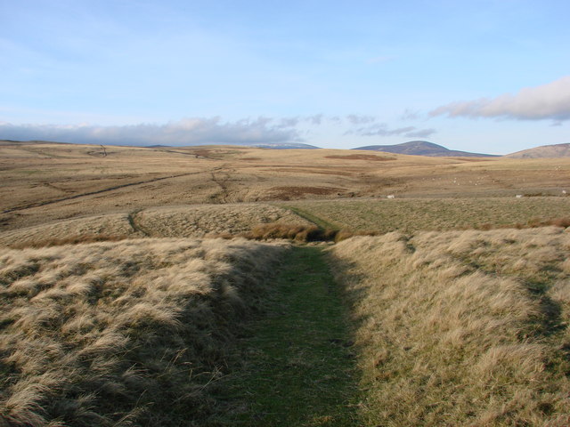
Salters Road in the Cheviot Hills
Salters Road is part of a route believed to have been used by salt traders in the medieval period. The road went through Rothbury to Alnham, and then onto the junction with Clennel Street where it went North to the Borders.
 Map © Crown Copyright")
TIP: Click the map for more Large scale mapping
- Grid Square
- NT9812, 18 images (more nearby 🔍)
- Photographer
- Ed Jennings (more nearby)
- Date Taken
- Sunday, 23 December, 2007 (more nearby)
- Submitted
- Wednesday, 10 September, 2008
- Subject Location
-
OSGB36:
 NT 98 12 [1000m precision]
WGS84: 55:24.3859N 2:1.5144W - Camera Location
-
OSGB36: NT 98 12
- View Direction
- Northwest (about 315 degrees)