2008
SN6589 : Tal-Y-Bont
taken 16 years ago, near to Tal-y-Bont, Ceredigion/Sir Ceredigion, Wales
This is 1 of 4 images, with title Tal-Y-Bont in this square
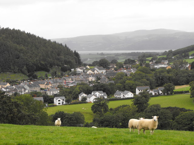
Tal-Y-Bont
Tal-Y-Bont and beyond,looking across to the Dovey estuary.
 Map © Crown Copyright")
TIP: Click the map for more Large scale mapping
- Grid Square
- SN6589, 78 images (more nearby 🔍)
- Photographer
- Eddie Webster (more nearby)
- Date Taken
- Thursday, 11 September, 2008 (more nearby)
- Submitted
- Thursday, 11 September, 2008
- Subject Location
-
OSGB36:
 SN 655 892 [100m precision]
WGS84: 52:29.0622N 3:58.9006W - Camera Location
-
OSGB36: SN 656 887
- View Direction
- North-northwest (about 337 degrees)